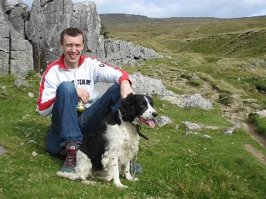
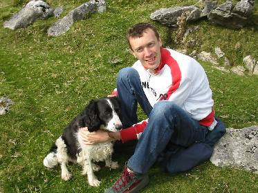
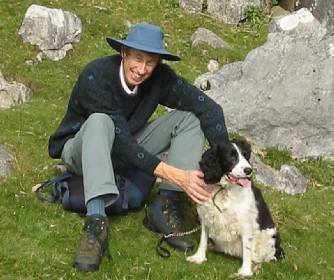
Climbing / Hill Walking up Ingleborough mountain, 25th September 2002 |

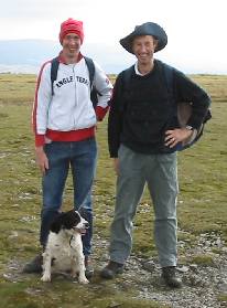
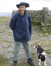
Drove in RAV4 and took Dad and Bo to Clapham where we turned off the A65 on to a minor road running NW till we came to our selected start point (3 miles SE Ingleton SO 732706).
|
|
|
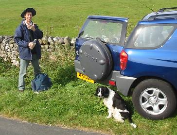
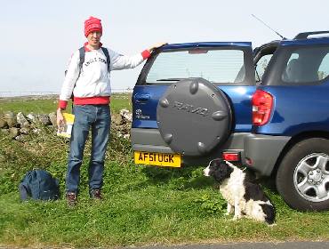
We parked on the verge opposite Newby Cote farm where the footpath up Ingleborough started.
|
|
|
|
|
|
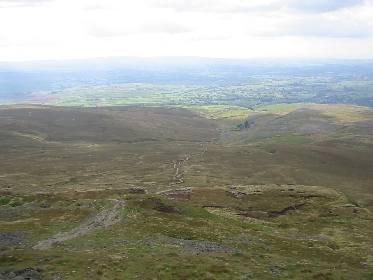
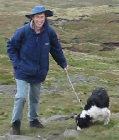
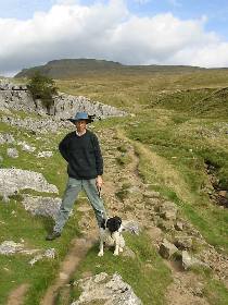
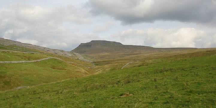
The route up was initially straight up a farm track but we were soon onto unmarked moorland grass, fortunately dry. It was a steady long walk/climb up with a tendency to drift off to the right. We saw a few examples of limestone pavement, where the acid rain had eaten vertical slots out of the limestone rock like giant cracks in dried mud. Kept right on up and came past area of shakeholes and onto a well defined path as we approached the summit. We kept strictly on the path and joked about the possible enormous caves just under our feet covered by the shake holes. It was steeper on the final ascent to the summit plateau, which was suprisingly flat. A hard dark layer of impervious rock was above the lower white limestone.
|
|
|
|
|
|
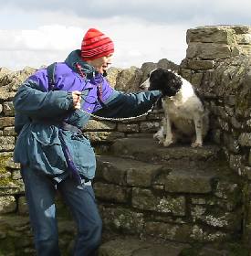
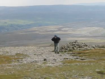
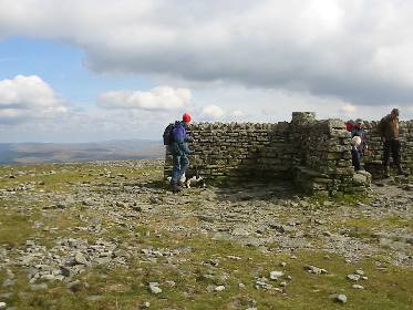
Up at the top we could see the sea in the distance and on a good day we should have been able to see Blackpool Tower and the Isle of Man. There was a cross shaped shelter (like the one on Helvellyn) where we sat to have out lunch. Two plastic box salad meals, bananas and juice plus chocolate as an extra. The scotch eggs were good.
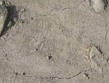
We think one of the shake holes had been shaken in the earthquake (24th Sept) and some movement had occurred leaving the fresh cracks in the path, above right.
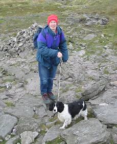
The route down was SW, direct to Ingleton and quite steep initially but had been well worked on by people making proper rock steps. We looked for a stile (SO 716732) to short cut path off to the left and this led across fields, with many cows, directly down to Slatenber on the road which we had parked the car.
|
|
|
|
|
|
|
|
|
|
|
|
Finally back down onto the road having crossed many fields, one with a bull which we carefully skirted with Bo. Many high step ladders to cross the walls which took some lifting of Bo. Weary walk back to the car eastwards, expecting to find the car after a mile. In fact it was two miles!. Drove back to collect Bo and picked up two other walkers who were returning to their rented cottage in Ingelton. They recommended sheep's wool for blisters!
If you fancy doing this walk, or any other, you do it at entirely your own risk. You can't blame anyone if you finish up injured or dead. We've been doing this kind of this for fun all our lives and it has never worried us even in the snow, rain or whatever. Prepare for the worst, wrap up well, good boots, take rucksack, food, map etc and be sensible, but have fun. Mountains are not the place for the namby pamby politically correct snowflakes (excepting real baaa sheep).
The mountains will be there for the next generation to climb.
Page updated 8 Apr 2020